INTRODUCTION
The City of San Diego (City) is required to implement a brown-headed cowbird ( Molothrus ater, Cowbird) trapping program at Kumeyaay Lake as requi red by the Biological Opinion issued for construction of the Kumeyaay Campground . The focus trapping area for the program in 2003 was Kumeyaay Lake. Santee, San Diego County, California. Varanus Biological Services (Varanus) placed traps adjacent to nati ve riparian habitats (Southern Willow Riparian Forest and Southern Cottonwood-willow Riparian Forest) in the vicinity of the lake.
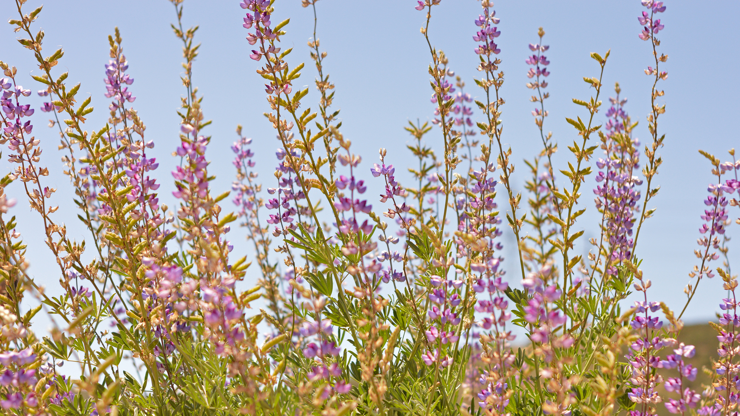
Since the early 1980's, Cowbird trapping has been an important component of recovery measures in suppo1t ofrecovery of the federally endangered least Bell's vireo (see Morrison et al. 1999), which is a small. insectivorous migratory songbird. The breeding range of the least Bell's vireo is southern California including portions of the California deserts. Least Bell's vireos winter in Baja California. Mex ico and typically migrate northward to their breeding grounds in southern Cal ifornia between mid-March and mid-April and occasionally as late as early May. During the breeding season the least Bell's vireo inhabits an assortment of riparian habitats. Dense low growing thickets of willows (Salix spp.), mule fat (Baccharis salicif olia) , California blackberry ( Rubus ursinus), Douglas' mugwort (Artemisia douglasiana) or other similar species are essential components of the habitat. An overstory composed of willows. cottonwoods (Pop11!11s fi'emo ntii), and/or sycamores ( Platanus racemosa) is often present . Other nesting habitats are dense patches of herbaceous understory in Coast Live Oak Riparian Forest and Coast Live Oak Woodland (W. Haas pers. obs), and occasionally patches of non-native habitat (P. Famolaro pers. com.) that now commonly form intricate mosaics with native habitats throughout the current breeding range of this species.
Once widespread through much of California. the breedi ng range of the Least Bell 's Vireo extended from the northern edge of the Sacramento Valley of California to no1ihern Baja California. Least Bell's vireo population numbers declined dramatically between the l 940's and mid-1980's (Franzreb 1989). Two factors are primarily responsible for the decline and hence the endangered status of the Least Bell 's Vireo: habitat loss resulting from eradication, fragmentation, and degradation of riparian habitats; and brood parasit ism by Cowbird s (U. S. Fish and Wildlife Ser
INTRODUCTION
The City of San Diego (City) is required to implement a brown-headed cowbird (Molothrus ater, BHCO) trapping program at Kumeyaay Lake as required by the Biological Opinion issued for construction of the Kumeyaay Campground. The focus trapping area for the program in 2001 was Kumeyaay Lake, Santee, San Diego County, California. Varanus Biological Services (Varanus) placed traps adjacent to native riparian habitats (Southern Willow Riparian Forest and Southern Cottonwood-willow Riparian Forest) adjacent to the lake.
Cowbird trapping is conducted in support of recovery of the federally listed endangered least Bell's vireo ( Vireo bellii p usillus). Least Bell's vireos are small, insectivorous migratory songbirds of extremely limited range. Wintering in Baja California, Mexico, least Bell's vireos typically migrate northward to their breeding grounds in southern California between mid-March and mid-April. They breed almost exclusively in early succession willow-riparian habitats characterized by the presence of dense understory vegetation. Other nesting habitat includes dense patches of herbaceous understory in Coast Live Oak Riparian Forest and Coast Live Oak Woodland, and occasionally in patches of non-native habitat that now commonly form intricate mosaics with native habitats throughout the coastal range of this species.
Once widespread in low-elevation riverine valleys as far north as Tehama County in northern California, least Bell's vireo population numbers declined dramatically between the 1940's and mid-l 980's. Two factors are primarily responsible for this species' demise and hence have contributed to its status as an endangered species: habitat loss resulting from eradication, fragmentation and degradation of southern California riparian corridors, and brood parasitism by BHCO. The explosive increase in BHCO population outside its historic range has accompanied the decline of riparian habitat. In southern California, the increase in BHCO has paralleled the decline in numerous other songbird populations including yellow warbler (Dendroica petechia ) and warbling vireo ( Vireo gilvus) in San Diego County (Unitt 1984). Brown-headed cowbirds were historically associated with buffalo and possibly antelope herds, and subsequently livestock in the Great Plains of the United States. It is hypothesized that brood parasitism in BHCO evolved to accommodate the species' reliance on benefits gained foraging among
This Natural Resource Management Plan (NRMP) fulfills the City of San Diego’s (City)
Multiple Species Conservation Program (MSCP) requirement to develop Area-specific
Management Directives (ASMDs) for the protection of natural resources at Mission Trails
Regional Park (MTRP) (see MSCP Implementing Agreement Section 10.6.B, City
Subarea Plan Section 1.5.6, and Final MSCP Plan Section 6.3). MTRP is a core
biological area and regional wildlife corridor within the MSCP’s Multi-habitat Planning
Area (MHPA) and is managed to achieve the goals of the MSCP.
Introduction: San Diego thornmint (Acanthomintha ilicifolia) is an endangered plant species found in clay soils within the County of San Diego. It is an annual herb that blooms between April and June. Surveys were conducted by City staff on April 23, 2003 at Otay Lakes (see attached map). Surveys were also conducted by Friends of Los Peñasquitos Canyon Preserve (Mike Kelly and other volunteers) at Mission Trails Regional Park, Sabre Springs, Black Mountain, and Peñasquitos Canyon. Monitoring reports for the volunteer survey effort are attached. The methodology and results of the monitoring are detailed below. The goal of the effort was to continue long-term monitoring of San Diego thornmint under the Multiple Species Conservation Program (MSCP).
McMillan Biological Consulting conducted baseline surveys in May 2001 for the Otay Lakes population. Previous surveys have been conducted by MSCP staff, Mike Kelly, and other volunteers in Sabre Springs, Black Mountain, and Peñasquitos Canyon. Additional surveys in Peñasquitos Canyon and Sabre Springs were also conducted by Ogden Environmental (1993).
Introduction: San Diego ambrosia (Ambrosia pumila) is a sensitive plant species whose northernmost distribution is in southern Riverside County. This perennial herb species was once more common in northern Baja California, Mexico but its distribution has been significantly reduced by expansion of agricultural land use. Modern land use within San Diego County has also greatly reduced the historic distribution of San Diego ambrosia. This plant species also appears not reproduce from seed but instead it grows off of a rhizome-like root structure below ground. If San Diego ambrosia only reproduces vegetatively and is limited in its ability to sexually reproduce, it may not be able to adapt to changing conditions. This may also be partially responsible for the limited distribution of San Diego ambrosia.
Monitoring for this plant in Mission Trails Regional Park (MTRP) was conducted on July 25, 2000 by Holly Boessow, Keith Greer, Jeanne Krosch, Mel Naidas, and Paul Kilberg. The largest patch of San Diego ambrosia in MTRP, which is located adjacent to the Kumeyaay Lake Campground, was surveyed. The patch surveyed is identified as patch C6 in the City of San Diego Mission Trails Regional Park San Diego Ambrosia Management Plan (Dudek & Associates, 2000). The goal of the effort was to establish baseline data for long-term monitoring of San Diego ambrosia under the Multiple Species Conservation Program (MSCP).
The City of San Diego (City) contracted with URS to conduct protocol presence/absence surveys for California gnatcatcher. Nine sites located throughout the City?s MSCP preserve were surveyed to determine presence of California gnatcatcher at each site in spring of 2001. The sites were located at Lake Hodges, San Pasqual Valley, Black Mountain, Los Penasquitos Canyon, Mission Trails Regional Park, Spooner?s Mesa, Otay Mesa/Spring Canyon, Lower Otay Reservoir, and Marron Valley. Gnatchaters were detected at all of the sites.
Introduction: San Diego ambrosia (Ambrosia pumila) is a sensitive plant species whose northernmost distribution is in southern Riverside County. This perennial herb species was once more common in northern Baja California, Mexico but its distribution has been significantly reduced by expansion of agricultural land use. Modern land use within San Diego County has also greatly reduced the historic distribution of San Diego ambrosia. This plant species also appears not reproduce from seed but instead it grows off of a rhizome-like root structure below ground. If San Diego ambrosia only reproduces vegetatively and is limited in its ability to sexually reproduce, it may not be able to adapt to changing conditions. This may also be partially responsible for the limited distribution of San Diego ambrosia.
Monitoring for this plant in Mission Trails Regional Park (MTRP) was conducted on July 9 and 16, 2001 by Holly Boessow, Keith Greer, Jeanne Krosch, Mike Klein, Randy Rodriguez, Brett Williams, and Jim Harry. The largest patch of San Diego ambrosia in MTRP, which is located adjacent to the Kumeyaay Lake Campground, was surveyed. The patch surveyed is identified as patch C6 in the City of San Diego Mission Trails Regional Park San Diego Ambrosia Management Plan (Dudek & Associates, 2000). The goal of the effort was to establish baseline data for long-term monitoring of San Diego ambrosia under the Multiple Species Conservation Program (MSCP).
The primary goal of the San Diego Thornmint Expansion Project (project) was to improve and expand areas
occupied by the San Diego thornmint (Acanthomintha ilicifolia) through restoration and enhancement of
degraded habitat within Mission Trails Regional Park (MTRP) Fortuna. San Diego thornmint is included in
the San Diego Management and Monitoring Program (SDMMP) Management Strategic Plan (MSP) as a
Category SO (Significant occurrence(s) at risk of loss from the Management Strategic Planning Area). This
program addresses the immediate needs of thornmint within MTRP by building on the previous City of San
Diego (City) weed treatment effort (based on San Diego Association of Governments-funded Conservation
Biology Institute (CBI) protocols to control purple falsebrome (Brachypodium distachyon) and to address loss
and degradation of existing thornmint habitat due to an increase of invasive plants and drought. Activities
included in this program consisted of herbicide treatment, thornmint seed collection, seed bulking and
redistribution, vegetation monitoring, photo monitoring, and thornmint monitoring. City of San Diego
rangers and Natural Resources department staff dedicated several hours of City staff time to support the
success of the Thornmint Project.
Introduction: San Diego thornmint (Acanthomintha ilicifolia) is an endangered plant species found in clay soils within the County of San Diego. It is an annual herb that blooms between April and June. Surveys were conducted by City staff on April 16, 2004 and May 21, 2004 at Otay Lakes (see attached map). Surveys were also conducted by Friends of Los Penasquitos Canyon Preserve (Mike Kelly and other volunteers) at Mission Trails Regional Park, Sabre Springs, Black Mountain, and Penasquitos Canyon. Monitoring reports for the volunteer survey effort are attached. The methodology and results of the monitoring are detailed below. The goal of the effort was to continue long-term monitoring of San Diego thornmint under the Multiple Species Conservation Program (MSCP). McMillan Biological Consulting conducted baseline surveys in May 2001 for the Otay Lakes population. Previous surveys have been conducted by MSCP staff, Mike Kelly, and other volunteers in Sabre Springs, Black Mountain, and Penasquitos Canyon. Additional surveys in Penasquitos Canyon and Sabre Springs were also conducted by Ogden Environmental (1993).
Non-native plant species are considered a threat to virtually all of the extant populations of the federally endangered Ambrosia pumila. The objective of this study was to compare the response of A. pumila among to several vegetation management techniques that included: mowing, application of Fusilade II Turf and Ornamental Herbicide (a grass-specific herbicide to remove non-native species), hand-pulling of all non-native species, and a control. This study was replicated at three different sites in San Diego and Riverside Counties (Skunk Hollow Preserve, Mission Trails Regional Park, and San Diego National Wildlife Refuge), which in turn allows us to describe management options for the full geographical range in which A. pumila occurs.
Introduction: San Diego ambrosia (Ambrosia pumila) is a sensitive plant species whose northernmost distribution is in southern Riverside County. This perennial herb species was once common in
northern Baja California, Mexico but its distribution has been significantly reduced by expansion of agricultural land use. Modern land use within San Diego County has also greatly reduced the historic distribution of San Diego ambrosia. This plant species appears to propagate from a subterranean, rhizome-like root instead of a typical seed-dependant reproduction strategy. If San Diego ambrosia only reproduces vegetatively and is limited in its ability to sexually reproduce, it may not be able to adapt to changing conditions. This may also be partially responsible for the limited distribution of San Diego ambrosia. Monitoring for this plant in Mission Trails Regional Park (MTRP) was conducted on August 15 and August 18, 2003 by Holly Cheong, Melanie Johnson, Betsy Miller, Khalil Martinez, and
Eden Nguyen. The largest patch of San Diego ambrosia in MTRP, which is located adjacent to the Kumeyaay Lake Campground, was surveyed. The patch surveyed is identified as patch C6 in the City of San Diego Mission Trails Regional Park San Diego Ambrosia Management Plan (Dudek & Associates, 2000). The goal of the effort was to continue long-term monitoring of San Diego ambrosia under the Multiple Species Conservation Program (MSCP).
Adaptive land protection and management strategies are fundamental to accomplishing the stated species and
habitat conservation goals of federal Habitat Conservation Plan (HCP) and California Natural Community
Conservation Plan (NCCP) efforts. In San Diego County, the current NCCP reserve system includes more
than 200,000 acres of protected lands, which are monitored and managed by multiple jurisdictions. The
Wildlife Agencies (FWS and DFW, collectively), environmental groups, and reserve managers would like an
improved understanding of how various threats and stressors may be affecting reserve performance for the
benefit of 103 plant and animal species. The intent of this applied research project was to complement the
existing species and habitat monitoring efforts in San Diego County by developing a program to assess the
possible effects of human recreation on wildlife populations. Specific objectives were to: (1) Develop
recommendations for a research for studying the effects of recreation on wildlife species; and (2) Test methods
for monitoring recreation and complete a pilot field study.
For the Multiple Species Conservation Program (MSCP) of southwestern San Diego County, habitat monitoring, along with more intensive monitoring of populations of rare, threatened, and endangered plant and animal species and wildlife corridors, was initially prescribed in Ogden (1996). The primary approach to monitoring habitat quality, as prescribed in the report prepared for the City of San Diego (Ogden,1996), was long-term sampling of vegetation species and land cover composition at 29 sites distributed throughout the MSCP area. For each site, the report recommends three sample plots be established along a potential disturbance gradient, from an urban edge inward toward relatively pristine habitat.